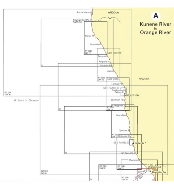
Hydrographic Charts for Southern Africa.
Please select the required SAN chart number above when
purchasing.
- Chart SAN 117 - Olifantsrivier to Cape Columbine
- Chart SAN 118 - Cape Columbine to Table Bay
- Chart SAN 119 - Melkbos to Cape Hangklip
- Chart SAN 120 - Cape Point to Cape Agulhas
- Chart SAN 121 - Cape Agulhas to Cape Barracouta
- Chart SAN 122 - Cape Barracouta to Cape St Blaize
- Chart SAN 123 - Cape St Blaize to Cape Seal
- Chart SAN 124 - Cape Seal to Cape St Francis
- Chart SAN 125 - Cape St Francis to Bird Island
- Chart SAN 126 - Port Elizabeth to Great Fish Point
- Chart SAN 127 - Great Fish Point to East London
- Chart SAN 128 - East London to Mbashe River
- Chart SAN 129 - Mbashe River to Port St Johns
- Chart SAN 130 - Port St Johns to Port Shepstone
- Chart SAN 131 - Port Shepstone to Cooper Light
- Chart SAN 132 - Tongaat Bluff to Richards Bay
- Chart SAN 1020 - Approaches to Mossel Bay
- Chart SAN 1024 - Approaches to Port Elizabeth
- Chart SAN 1025 - Bird Island Passage
- Chart SAN 3002 - Training Chart
SAN117
2 Items

If you require a specific chart not reflected here
please e-mail us at info@dynamicelements.co.za


![]()